Satellite imagery posts
Explore the latest in our mission to build a better world using data science and AI.
Explore the latest in our mission to build a better world using data science and AI.
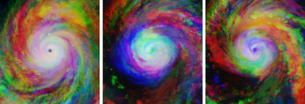
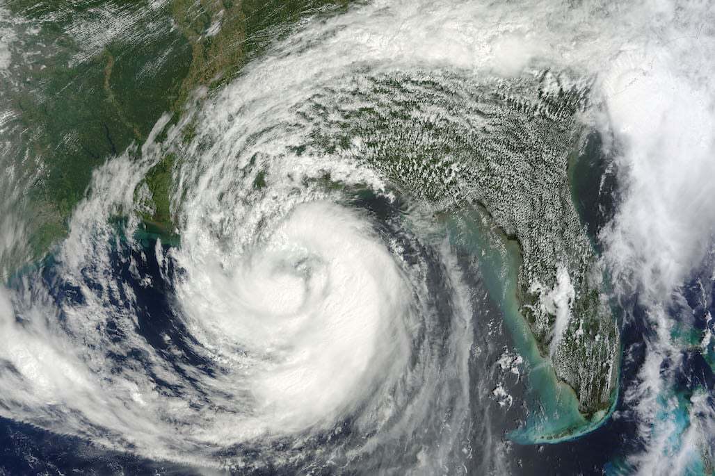
Meet the winners who were best able to estimate the wind speeds of tropical storms at different points in time using satellite images.
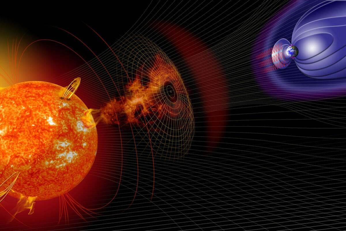
We'll show you how to train an LSTM network using space weather data to predict changes in Earth's magnetic field for our latest challenge.
We'll show you how to start predicting wind speeds for our latest disaster preparedness challenge.
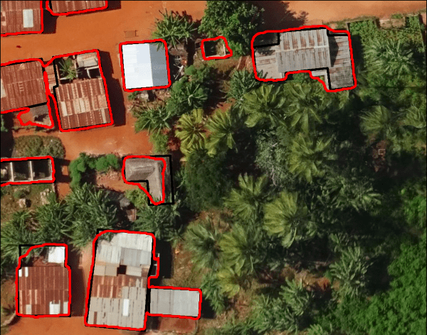
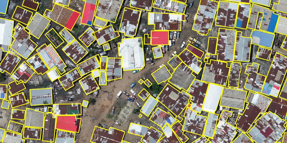
Meet the winners with the best building segmentation models and ethical perspectives for disaster risk management
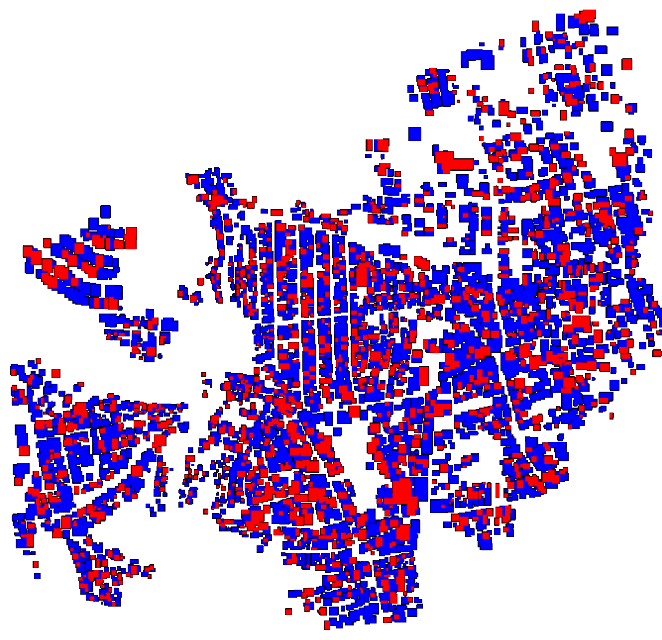
Meet the winners who were best able to map disaster risk from aerial imagery!
We'll show you how to start detecting building outlines for our latest disaster resilience challenge.
Join our newsletter or follow us for the latest on our social impact projects, data science competitions and open source work.
Learn more about how our team is bringing the transformative power of data science and AI to organizations tackling the world's biggest challenges.